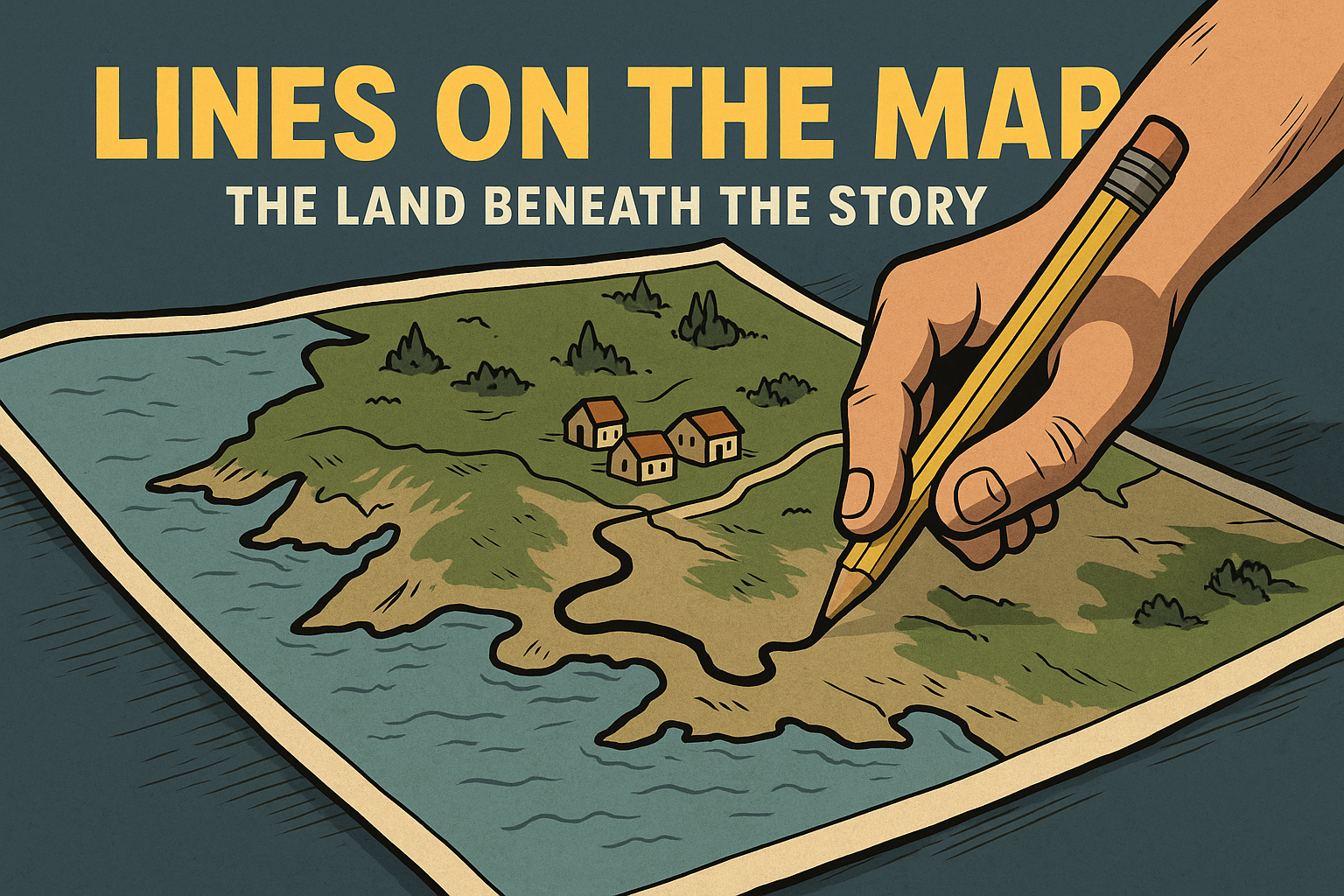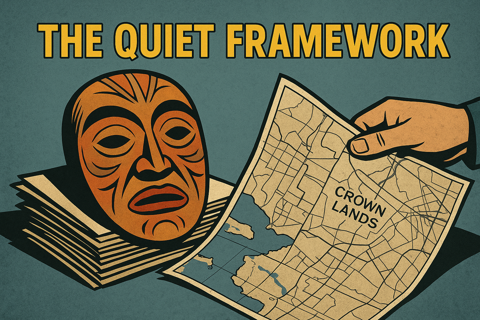
Part 4 of the "Nothing to do with Land" series. Even without treaties or legal recognition, maps are quietly reshaping Newfoundland’s land politics. This essay exposes how symbolic “traditional territory” maps act as soft land claims—used in signage, education, consultation protocols, and even conservation overlays like 30×30. In Port au Port, the groundwork is already laid: self-government rhetoric has begun implying jurisdiction, and the next phase is likely visual—rendering those claims cartographically. Once printed or shared, even unofficial maps influence local perception, policy behavior, and emotional response. This piece explains how soft sovereignty advances not through courts or legislatures, but through PDFs, posters, and the normalization of invented borders.
Read More...